Wednesday morning (August 15th) dawned without a
cloud in the sky…a perfect day to travel from Montrose through Ouray and
Silverton to Vallecito Reservoir via Red Mountain Pass (11,018’)—the Million Dollar
Highway. Not! The sky, although cloudless, was milky white
with smoke from fires upwind in Washington state. We have made the trip often, but were still
disappointed that the spectacular views would be obscured by smoke.
 |
| San Juan Mtns from just north of Ouray |
 |
San Juan Mtns closer to Ouray
Many RVers refuse to drive Red Mountain Pass because of its narrowness, tight curves, and steep drop-offs…oh, yeah, the lack of guardrails really spooks them.This has never bothered our driver as he remembers riding over the pass many times in the winter during the late 1940s when the byway was a very nasty gravel road.The original part of the highway was a toll road built in 1883 by Otto Mears and used to haul ore and supplies before the railroads were constructed.In 1926, it became part of the federal highway system.
|
 |
| North side of Red Mountain Pass |
 |
| That sucker looks pretty deep! |
 |
| Avalanch Shed |
 |
| South side of Red Mountain Pass |
 |
| Red Mountain on left |
 |
| Taking a break on Coal Bank Pass |
We had a largely uneventful ride over the passes (we also
traversed Molas--10,666’--and Coal Bank Hill--10,910’ Passes). We had two pretty scary deer events; the
first near Ridgeway and the second on the Durango side of Coal Bank Hill. On both occasions, we had mule deer does within
very few feet of becoming road-kill under our motorhome. Quick thinking brought the air horns on the
rig to bear and in both cases the does skittered away in the opposite direction. Needless to say we were both experiencing
serious adrenalin rushes afterward.
Our location for the next two weeks is at Vallecito
Reservoir some 22 miles northeast of Durango.
Our RV park is one mile from the Weminuche Wilderness boundary…many
miles south of where we were hiking near Creede, but a hardy soul, with time on
his or her hands, could make the several day trek north and come out at 30 Mile
Campground where we began our Squaw Creek Trail hike. If you have a faulty memory, or perhaps it
has all run together for you, refer to our earlier blogs from Creede.
Since the Weminuche is so close and because we could hear it
whispering our names, our first outing here was on the Vallecito Creek
Trail. This seven-mile round trip was
delightful. Generally a fairly gradual
climb, it follows the creek into the wilderness for more miles than we would
care to hike, but every step is beautiful.
The creek, fed by many streams and drainages, is still running quite
full for this time of year. It certainly
deserves a name conveying something larger than a creek. But there it is. It’s a popular trail and even on a Thursday
there was lots of traffic…not as bad as the Alpine Loop thankfully, but we didn’t
have it to ourselves either. The upper
parts of the trail show the damage from the 2002 Missionary Ridge Fire
that burned 137,760 acres, displaced
5,340 people and destroyed 133 homes…a nasty bit of work.
 |
| On Vallecito Creek Trail |
 |
| Vallecito Creek |
 |
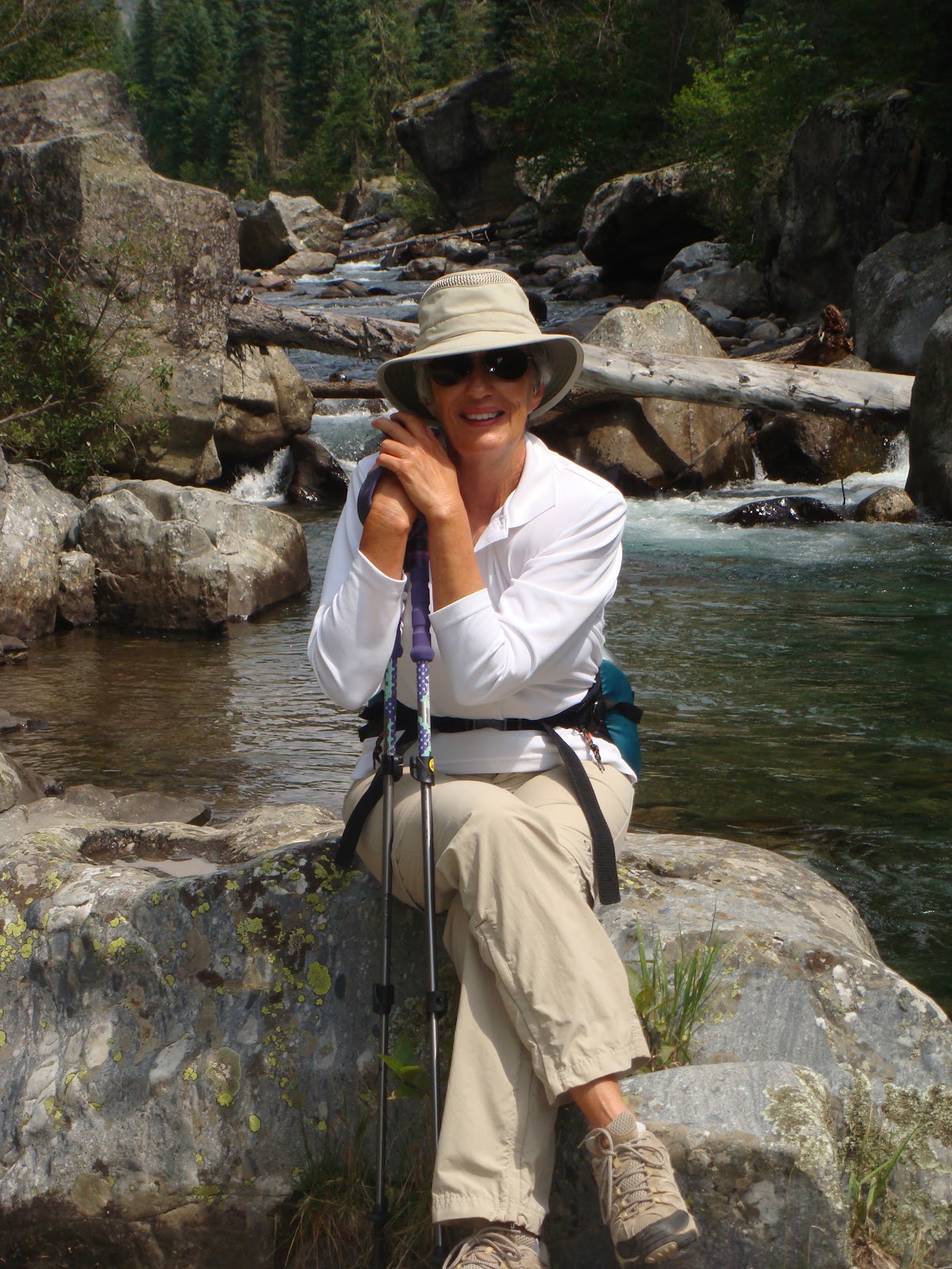
| Hi, sweetheart! |
 |
| Vallecito Creek |


i love colorado! thanks for taking this trip for me!!! your jeep takes you to some really gorgeous places we can't go to in our van...have fun and we'll catch up sometime...aly and buddy.
ReplyDelete